Blackstone Edge, Warland Reservoir, Crook Hill, Rough Hill, Freeholds Top, Whitworth Higher End Moor, Britannia Quarries. 12 Miles.
It was like I was on Kinder in the morning fog again, surrounded by gritstone outcrops and enveloping blankness as I got my stuff together for today’s miles. Having less of them ahead today than I’ve had so far I’d allowed myself a lie-in. I set off at 10am expecting a gentler day rambling around Rochdale, where I was born and where – walking with my dad as a kid – I first got a taste for this kind of thing.
I pass a string of reservoirs on my right. There’s something really bracing about them in their relative remoteness – their setting in the wide moorland.
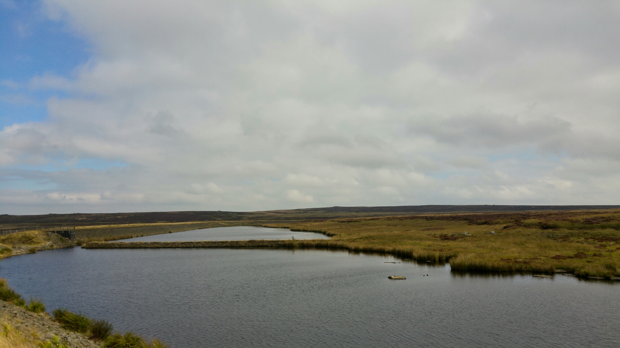
I drag myself west away from them and descend into Warland. Here, by the canal, I watch a family operate the lock and swingbridge to allow their boat to pass over the border from Lancashire to Yorkshire, as I’m straddling the two counties sat on a bench eating lunch. Unfairly, I enjoy the cracks of impatience showing in the face of a driver waiting for their road to be returned to them.
I start ascending again, over a path that for a while leads over the roof of the Summit Tunnel. This path is another seldom-trod and very overgrown sort, with bees buzzing around my shins between the heather and other shrubs either side of it. Frequently a bee will be lying in the path. I really don’t want to stand on one in case it releases some sort of KILL pheromone and its mates come for me. Some shoulder-high, moth-spawning ferns to pass through and then a sharpish ascent up a grotty clough and I’m on the high ground again.

At the bottom of the high ground at least. There’s a lot of ascent on paths of varying quality. There’s a lot of the sapping, livestock-churned field trudging and trying to find ghostly faint trails where the grass seems to have just bowed slightly along a narrow line. I eventually hit a gravel track which leads me through Crook Hill wind farm, one of several that have blossomed over the last decade or so on this stretch of hills. A digger driver nods to me and says ‘fine for walking around here isn’t it’. I agree – I’m glad it was a pleasantry because I hadn’t been sure if this was still a public place. Clearly it is – good. ‘You look buggered’, he says – I agree. We chat about his work – they’re loving it up here: left to themselves to get on with things amid the great views. ‘It’s really spooky when it’s foggy’ – I bet. If you’ve heard the sound of the windmills you’d appreciate the otherliness of the prospect.
I’m heading for Freeholds top and it’s still a long trudge up to it after I’ve left the windmills behind. I cross over Rough hill and then I’m crossing a great scooped curve of field draped over Ramsden Clough – there’s superb views of Calderdale to the East. There’s Stoodley Pike. Stoodle-ay-hee-ho.

Freeholds Top is the kind of summit I really like – a smooth wide grassy top that’s easy to trudge over, with a gently curving ascent and a trig point that peeps up over the curve as you approach. Perfect. There’s also a little fenced-off tarn as here a bonus feature.

It’s too hazy to see the Forest of Bowland or the Yorkshire Dales, but the views of Calderdale, Rochdale and towards Pendle Hill are really wonderful. And of Manchester of course. I’m using the autofocus on the zoom-lensed camera I’ve borrowed because I’m too inexperienced to do otherwise. But the summer haze is starting to make getting shots of the city quite tricky now. The beautiful days have seen the city’s definition fade into a shreddies-under-the-milk sort of bluey-vagueness. That’s cool – I’m here to look at the city from the perspective of the hills and their view isn’t always going to be as startlingly crisp as it’s been the past few days.

From there it’s a long descent through fields, past some fine-looking rams (seriously curly horns), into Shawforth. It’s just a little odd to be here as I grew up just a couple of miles further down the road I’m now on. I look for a turning which will take me back up the last batch of ascent for the day. It’s well into the evening and I’m walking through a pleasant ’70s estate that hugs the agricultural slopes – plenty of kids playing, mums chatting and such. I feel uncomfortably conspicuous as I weave through its streets looking sweaty and ‘buggered’ under the weight of my massive rucksack with a trowel and a mallet hanging off the back. I make it to a footpath running steeply up, directly beside someone’s garden. A horse starts to follow me – with friendly curiosity, I think – as I begin haltingly lurching up this steep field. I think I can hear someone whistling the horse back, but I don’t turn around – I just carry on uphill. This is a truly hard ascent. My legs just don’t want to do it and I can only muster a few steps at a time before I need a breather. I can feel the estate still watching me as I haul this ridiculously huge sack up the slope – taking ages to do it. I’m almost ready to quit – my family lives in Rochdale and I’m weighing up how bad it would be to retreat, make a call and get picked up and put up for the night. Maybe I’d get dropped at the estate in the morning and have another crack at it. But I don’t want to walk past that fucking horse again.
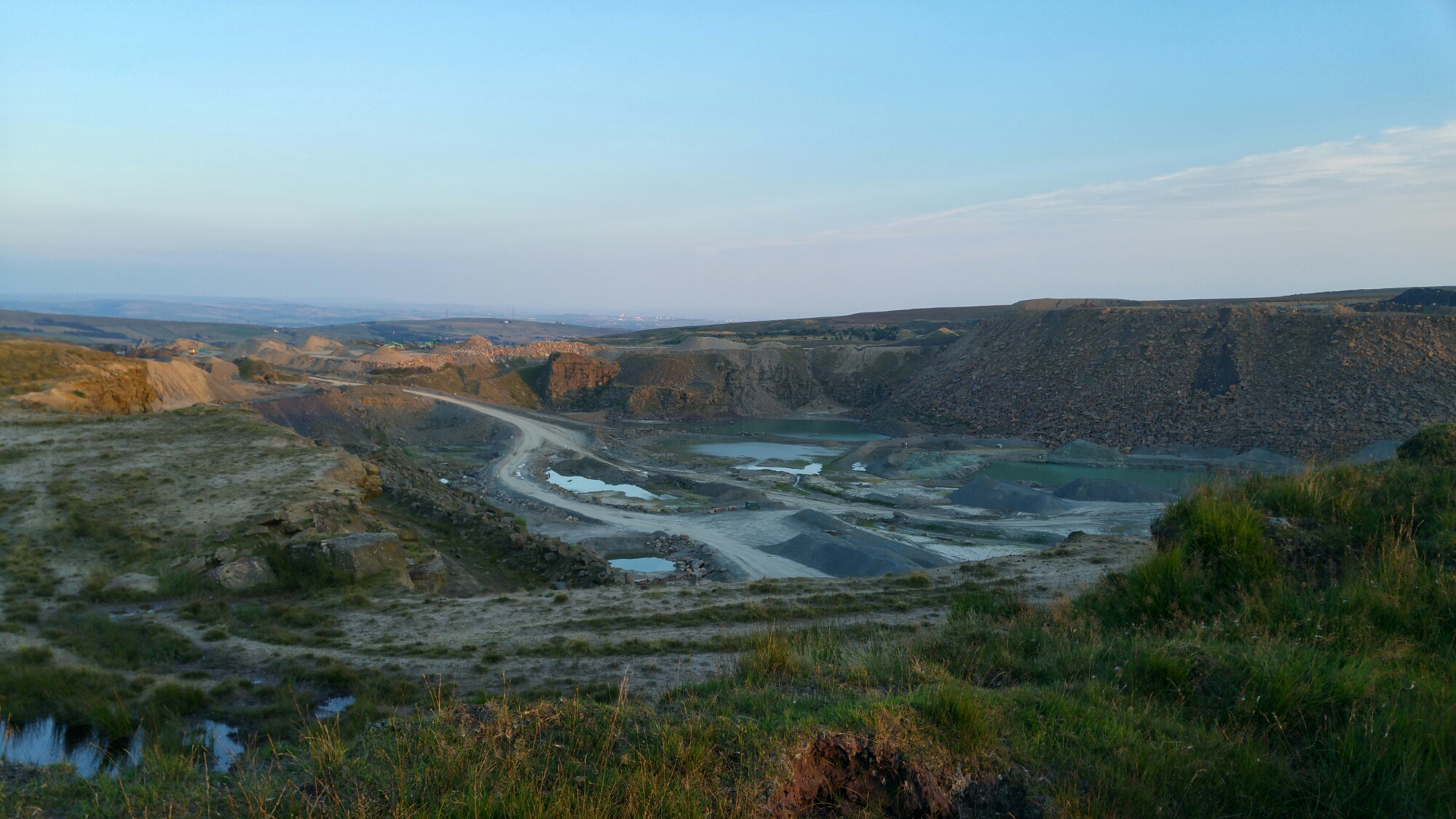
Finally I feel the ground level off a bit. I slog across another couple of lumpy, pathless fields and then find a track which eventually leads me past a huge quarry. Around me are remnants of excavation and industrial activity now done or dormant. A flock of dirt bikers suddenly appears and starts taking advantage of a landscape perfectly sculpted for their pastime. I charge weakly on looking for somewhere to pitch up that’s away from tire tracks and out of sight of the active quarry I’m now skirting the edge of.
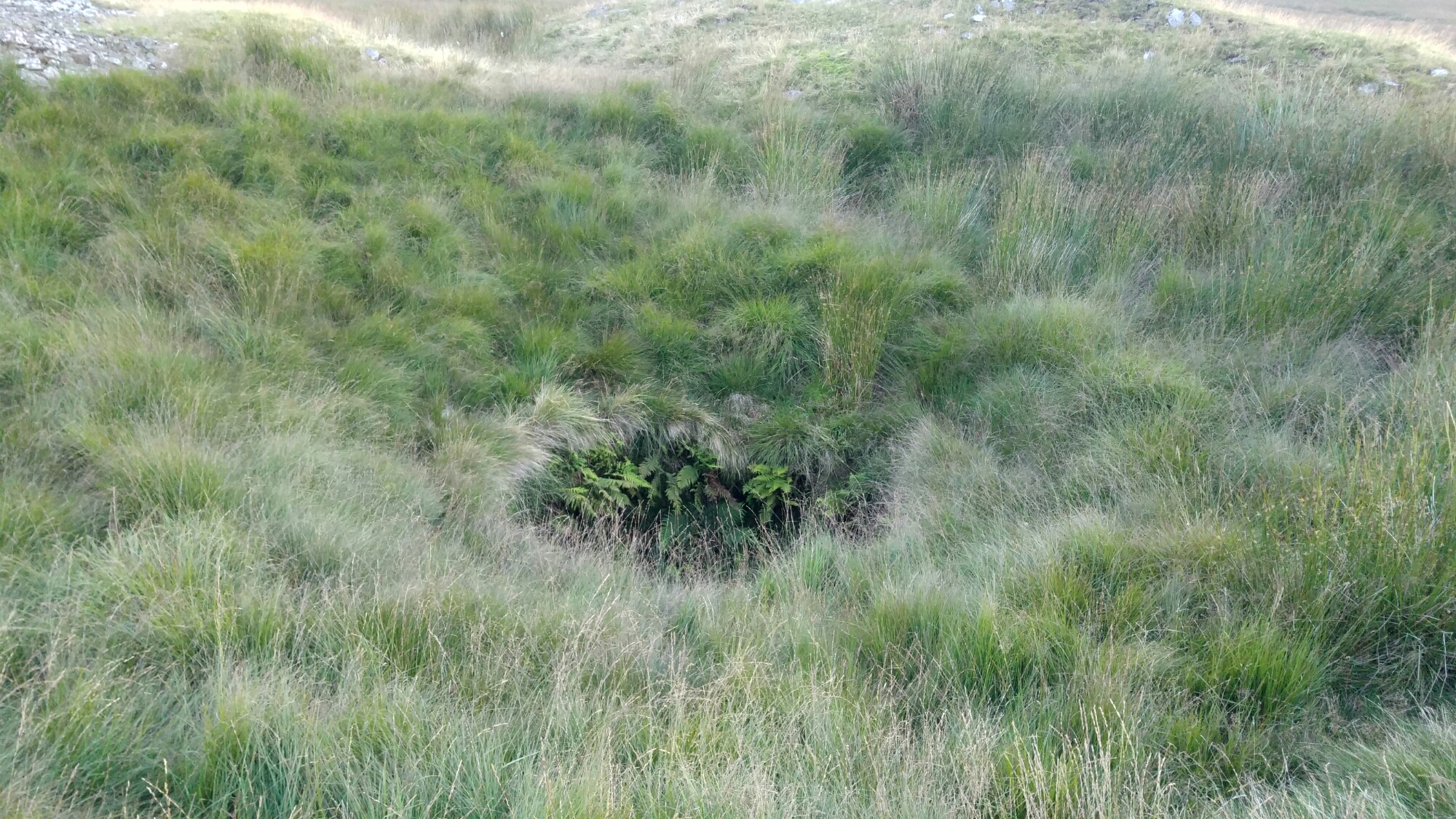
A boggy trudge over some darkening tussocky moor leads me to an abandoned mineshaft, the leftover quarried rock from which has left a nice barrier from the wind and from visibility to the nearby paths. The shaft itself looks like a bucolic version of the Pit of Sarlacc from Return of the Jedi. I find a spot, clear the ground of a few rocks – and quite a bit of sheep shit – and pitch up.
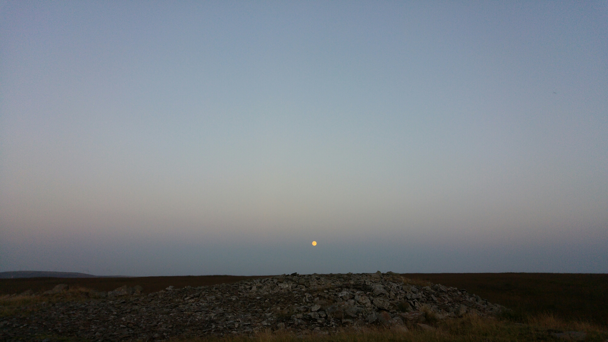
It’s closer to human activity here than I’ve been before when wild camping; I can hear dogs barking and – I think – the occasional raised voice, I assume from the evenings final walkers or from relatively distant farm buildings. But I feel well protected by the circle of rocks I’m set up in and, after ramen by moonlight, I have the best night’s sleep I’ve had on the trip so far.